Follow Us
Follow Us
Follow Us
Walking & Cycling
The crags, tors and peat uplands of the Peak District are well worth going the extra mile for,
White Peak and Dark Peak; their names sound like two warring kingdoms on Middle-earth. One can be found in the lush, green south of the Peak District, with its valleys, broadleaved woodlands, wild-flower grasslands and limestone caves, while the other dwells in the northern uplands, famous for its windswept moors and gritstone crags.
In reality, these are the two main sections of the Peak District National Park, which, having become the UK’s first national park in 1951, is poised to celebrate its 70th birthday. Very different, they both make for inspirational walking.
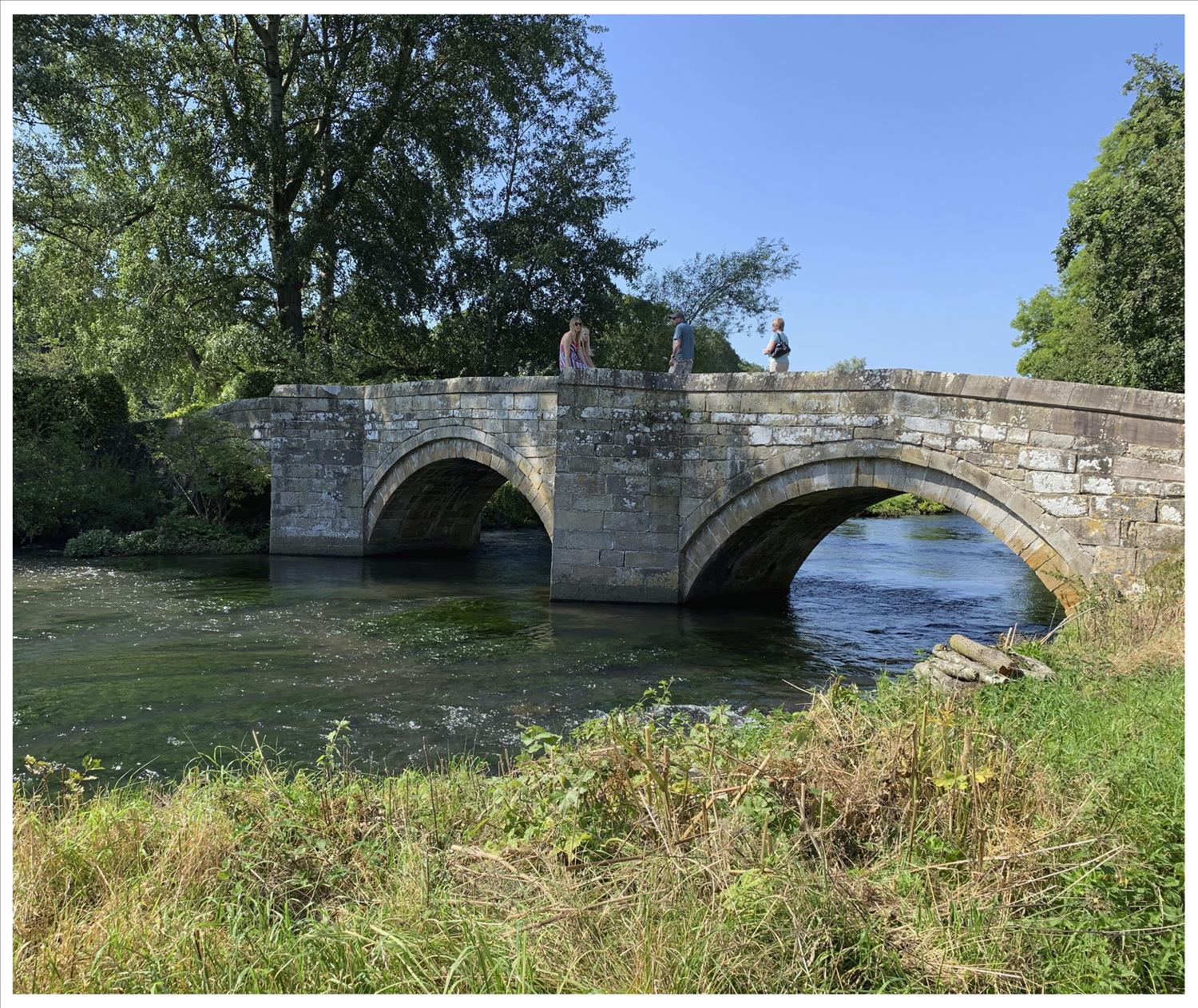
The White Peak area offers gentler walks in limestone valleys, with Dovedale and Monsal Dale among popular destinations. The footpaths are well-maintained and the atmospheric villages, with their limestone cottages and cosy pubs, are the perfect base for a walking holiday.
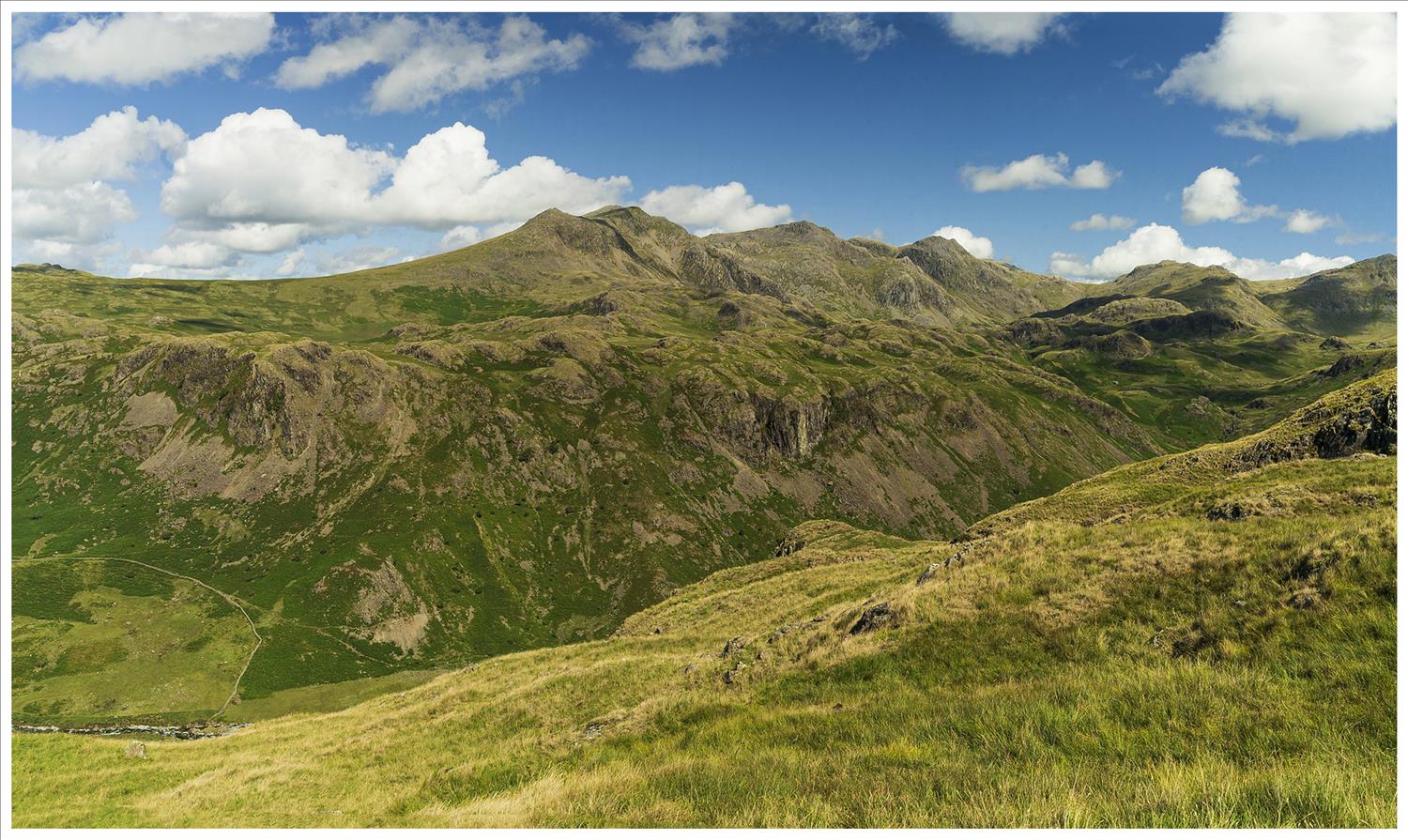
Dark Peak, as the name suggests, has tougher walking terrain with its crags, tors and boggy peat uplands, but its rewards include landscapes such as Stanage Edge, the longest ridge of millstone grit in England, with its stunning views over the heartlands of Britain. At its core, heading north from the village of Edale, is the Pennine Way, Britain’s first national trail, opened in 1965.
Kinder Scout, the Dark Peak’s moorland redoubt, was the scene of the legendary mass trespass in 1932, which pioneered the “right to roam” movement and led to the creation of the national parks we know and love today.
Some of the best walking routes in the history-making Peak District National Park.
Kinder Scout
Follow the Pennine Way from its start in Edale to the site of the 1932 mass trespass by ramblers to protest the lack of access to areas of open country.
Distance: 11 miles.
Map: Peak District (Dark Peak) OL1.
Route: From Edale, climb “Jacob’s Ladder” and follow the Pennine Way to Kinder Low along the Kinder Plateau. At Kinder Downfall (waterfall), head south-east to Grindsbrook Clough and back to Edale.
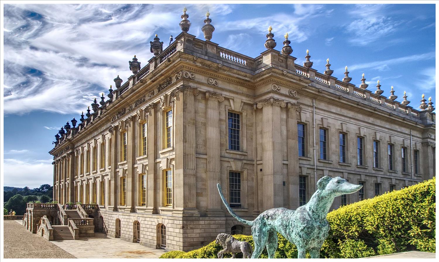
Chatsworth Estate Circular
Chatsworth House, home to the Dukes of Devonshire for 500 years, is a must-visit local attraction. This walk is the best way to experience the estate from both the woods above the house and the park in front, designed by Lancelot “Capability” Brown.
Distance: Seven miles.
Map: Peak District (White Peak) OL24.
Route: From Beeley, climb to Beeley Hilltop and through Stand Wood. Head south to the Derwent Valley Heritage Way and follow the path at the front of the house back to Beeley.
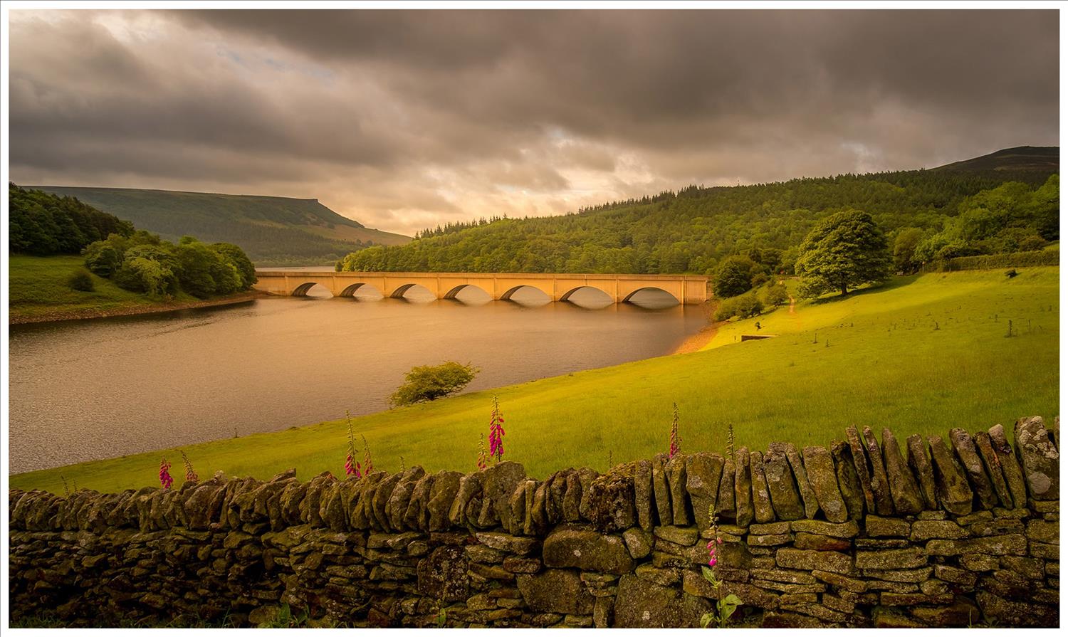
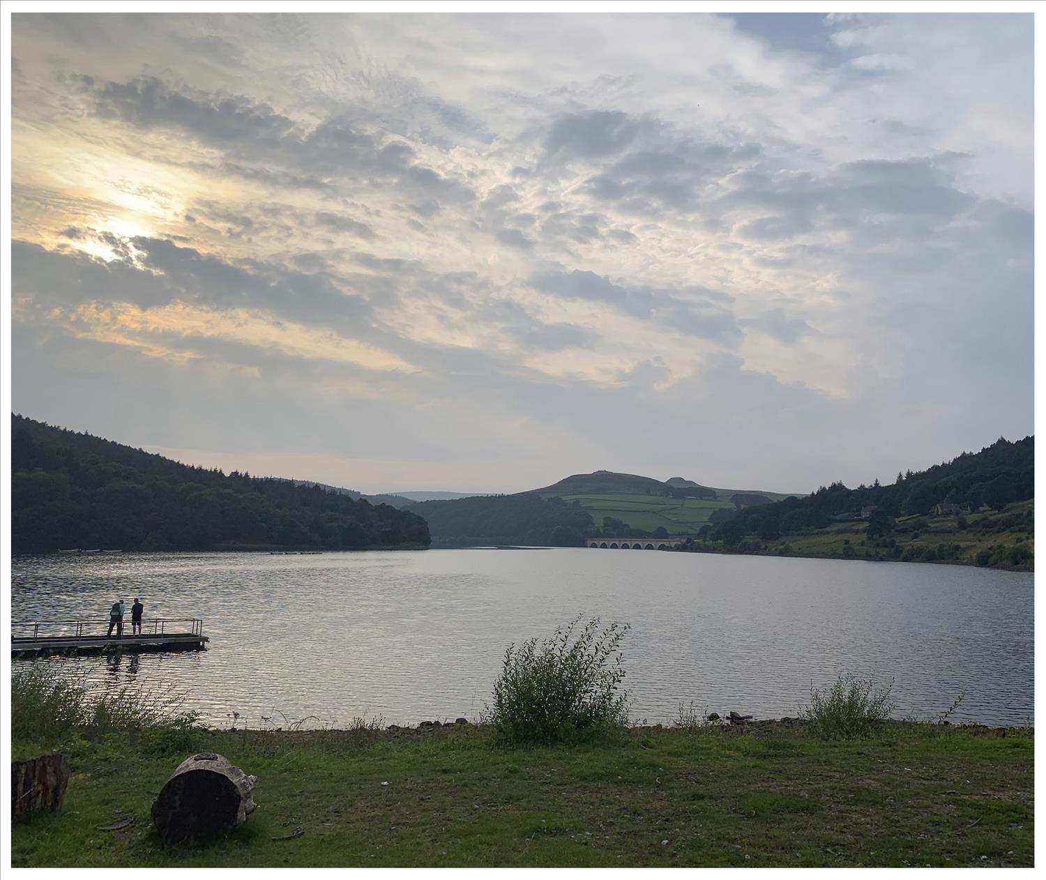
Derwent Edge
Follow the banks of the scenic Ladybower Reservoir up through woods to Derwent Edge’s surreal gritstone outcrops with their magnificent views. This walk combines easy woodland pathways with exposed moorland ascents.
Distance: 11 miles.
Map: Peak District (Dark Peak) OL1.
Route: From Ladybower House, head north-west along the east bank of the reservoir. At Hancock Wood, climb to Lost Lad cairn and follow Derwent Edge south-east back to the inn.